
USC provides data following oil spill

When James Fawcett, an adjunct professor of environmental studies and the director of marine science & policy outreach at the Sea Grant Program, first heard about the Orange County oil spill, his first reaction was “Oh no.” His second reaction was to look for more information about what might have caused the spill.
The oil spill that occurred on Orange County’s beaches released over 25,000 gallons of oil into the seas and shores. The incident, which affected wildlife, business and public safety, became a national news event and prompted responses from state and local officials.
Following the events of the oil spill, officials and organizations, such as the United States Coast Guard and the California Department of Fish and Wildlife’s Office of Spill and Prevention Response, gathered data from high-frequency radar installations and sensors maintained by the USC Wrigley Institute for Environmental Studies. This data helps to track ocean currents and detect the color of the water at the California coastline.
The oil spill, which began on Oct. 1, created an oil slick layer that stretched approximately 5.8 nautical miles long from Huntington Beach Pier to Newport Beach. While beaches reopened for swimming and surfing on Oct. 11, fishing remains prohibited until Dec. 1.
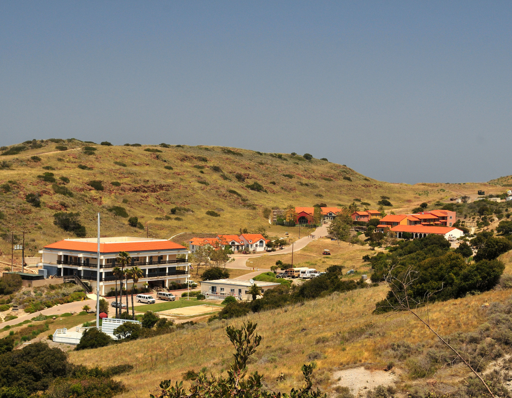
The Wrigley Institute currently provides data to officials and organizations who handle climate change issues and environmental policy.
Matthew Ragan works at the Wrigley Institute as the project manager of six radar stations that provide data about oil movement into a national data network located at the Scripps Institution of Oceanography, a department of the University of California, San Diego. That data then becomes publicly available to groups like the U.S. Coast Guard and the Marine Exchange of Southern California.
Afterward, the data is put into models that predict what direction the oil on the surface will move.
“[Institutions like the U.S. Coast Guard and OSPR] can use the data then to put into models that start predicting where an oil slick, while it’s at the surface, may move towards,” Ragan said. “Is it going to go onshore, offshore, north, south?”
The radar stations, situated in various locations stretching from Newport Beach to Malibu, also gather data for researchers to help the United States Coast Guard in search and rescue operations and aid Los Angeles County Sanitation Districts in maintaining wastewater pipelines.
Engineering technician Carl Oberg, who helps maintain the equipment used for collecting data runs, said he recognized the importance of seeing whether or not the oil spill will become a threat to people, stressing the significance of figuring out where the oil will end up.
“[The U.S. Coast Guard and OSPR] can use this data a lot for tracking this oil spill. By tracking it with using the ocean currents, they can manage whether it’s going to be moving into, say [an] ecologically sensitive area like a wetland or onto public beaches, where they can notify the population to stay out of those areas,” Oberg said.
Alongside the six radar systems, the institute also maintains a sensor located nine miles from the Huntington Beach shore. The data gathered processes images that indicate ocean color and delivers it to American and European satellites. Images from the satellites can later be used by NOAA to track oil spills, Oberg said.
As the oil spill investigation continues by organizations such as the National Transportation Safety Board and the United States Coast Guard, Fawcett said one theory of the U.S. Coast Guard proposes that a ship’s anchor could have struck an already deteriorating pipeline.
“It sounds, from early reports, like the alignment of the pipeline was modified, but whether it was modified by physical force or by the action of currents is unknown at this point,” Fawcett said. “I suspect that it probably was some physical cause for its movement.”
Fawcett also suspects that anchoring ships should hold a primary concern for oil spills since anchorage sites are located near the alignment of the pipeline. He said that the steel under the pipeline’s concrete jacket likely became susceptible to corrosion.
“I think the basic lesson for it is that, obviously, vessels need to be very careful to anchor in their assigned spots,” he said. “We don’t normally have so many vessels anchored in the outer harbor. It’s highly unusual to have.”
As part of NOAA and Integrated Ocean Observing System, the Wrigley Institute shares data that allows various groups, such as the Coast Guard and lifeguards, to understand the oil spill’s status. OSPR receives some of that data and uses it to create models that predict ocean currents.
For Ragan, the institute’s data can serve to help officials and organizations be better informed about decisions for more efficient oil spill cleanup. He sees such decision making as contributing to less of an impact on the environment.
“It’s nice to know that our efforts of keeping things operational lead directly to hopefully a better response,” Ragan said. “In that sense, I’m pleased that we’re able to help contribute.”