VITAL SIGNS
Strava’s heatmap shows us where running in LA is possible
Where we run depends on more than motivation, from the heat around us to the land beneath our feet.

By SOEFAE CHEN
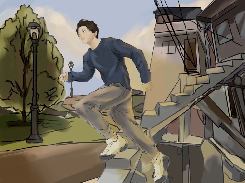

Where we run depends on more than motivation, from the heat around us to the land beneath our feet.
I have logged runs in Vancouver, Nanjing, Valletta, Granada, and enough cities in the United States to lose count. In an unfamiliar city, Strava’s Global Heatmap becomes my unofficial travel guide. Before running through Seville or Shanghai, I open the app and follow its map’s bright lines to where other runners have already found waterfront paths or quiet streets, sparing me from guessing whether the street ahead will turn into a highway.
I follow those lines because running is my favorite way to learn a new place, and the heatmap makes that learning safer. But when I open the same map in Los Angeles, it stops feeling like a travel guide. The brightest routes tend to trace the places where running feels easiest — the coast, Griffith Park, Silver Lake Reservoir — while other neighborhoods appear comparatively faint.
Running may feel like an individual pursuit, but in L.A., the ability to run comfortably and safely is shaped by public planning decisions about shade, sidewalks, parks and investment.
Strava’s heatmap does not tell us why people run in one neighborhood and not another; a dark patch does not mean residents don’t run there. Strava displays aggregated activity from users whose settings allow their workouts to appear publicly, and its map is not designed to compare the number of active people across locations. Still, its patterns invite a better question: What makes certain routes attractive enough to return to, while others require analysis and planning before a runner even leaves home?
For me, a good running route has continuous paths, crossings that aren’t a gamble on my life and enough green space or shade to make an afternoon run bearable. These conditions can seem like minor conveniences until they are missing. And when they are missing, running becomes a logistical exercise: you have to avoid major roads, wait until sunset and even drive elsewhere.
L.A. does not distribute these conditions and resources equally. A 2025 Nature Communications study found that income inequality is a stronger predictor of neighborhood heat disparities in L.A. than historic redlining. During extreme heat, those disparities widen by roughly 41 to 44.6 degrees Fahrenheit. In other words, heat does not fall evenly across the city: it concentrates where tree canopies, cooling pavement technologies and other resources are scarce.
The same inequality reaches the parks where Angelenos might escape their busy neighborhood streets. A 2026 study examining heat in L.A. public parks and open spaces found that 36% of the sites studied in South Central reached or exceeded a surface-temperature threshold associated with burn pain, compared to none in West L.A.
A nearby park does not guarantee a suitable place to exercise. Without adequate shade, public green spaces can become not just uncomfortable but unsafe to use.
I think about the routes that I take around USC. I can choose between intervals on the Allyson Felix Field track, a recovery loop around campus — where USC Department of Public Safety officers are often present — or an off-campus, longer run at Almansor Park. The freedom to choose depends on time, transportation and access.
Not everyone can drive to a park or rearrange their day around the weather. As a woman, I know that my willingness to run after sunset depends on lighting, foot traffic and whether a route feels visible rather than isolated. Safety is not a mood; it is built through street design, maintenance and who is present in the public space.
What looks like a personal fitness decision can reflect a much larger set of public conditions.
It would be easy — but lazy and inaccurate — to read the heatmap as a map of personal preferences. Strava alone cannot tell us whether a dim area reflects heat, dangerous crossings or simply fewer app users. We can, however, examine the infrastructure around those patterns and ask whether the residents have comparable opportunities to be active.
Strava itself offers a potential use for its data. Through Strava Metro, the company provides aggregated activity data to transportation agencies and planners seeking to understand how people move through cities and where infrastructure could be improved. These records can help identify existing travel patterns, but planners should be careful not to equate visible activity with public need. If investment follows only the routes people already use, neighborhoods where running is more difficult would remain overlooked.
L.A. should treat shaded sidewalks, safe crossings, connected paths and usable parks as public health infrastructure, not amenities reserved for neighborhoods that already have them. Improving these conditions would benefit more than runners; they would make commuting and spending time outdoors more enjoyable for most.
Running is an individual act, but the route beneath our feet is shaped by collective decisions about how a city is built and maintained. L.A.’s responsibility is not simply to improve its most popular routes — it is to make running possible in the neighborhoods that never shine brightly on the map.
Soefae Chen is a junior writing about health and fitness culture in her column, “Vital Signs,” which runs every other Friday.